ALTA VISTA
The destination

Todos Santos,
Baja California Sur

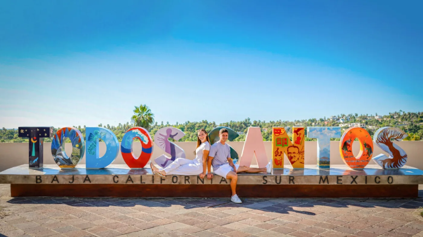
A Pueblo Mágico since 2006, between the sierra and the Pacific. You can walk the whole town in an afternoon, and the open beaches are minutes away.
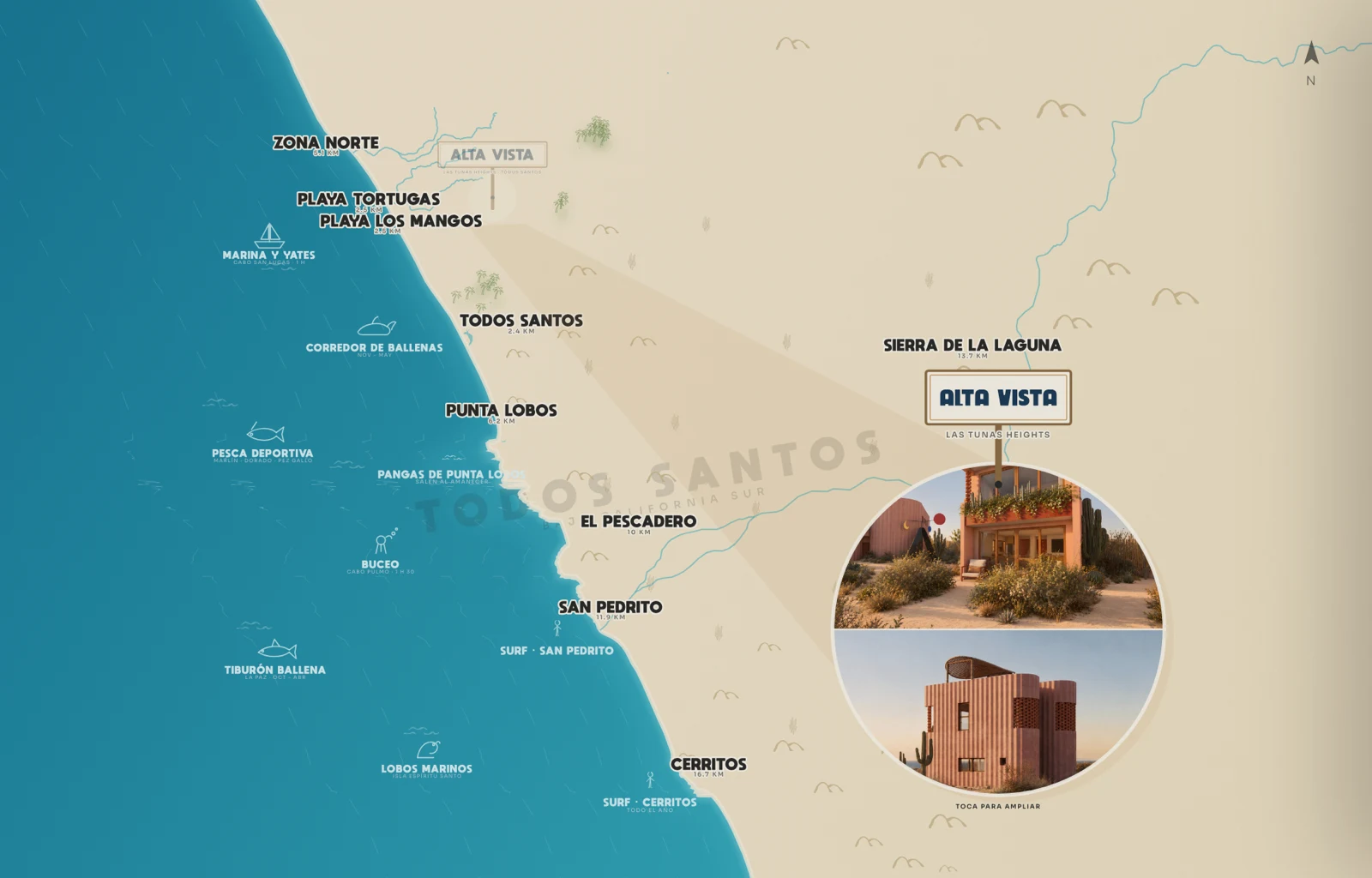
Map of ALTA VISTA in Todos Santos
Las Tunas Heights, Todos Santos The town is 2.4 km away. Playa Los Mangos and Playa Tortugas 2.5. Punta Lobos 6.2. The Sierra de la Laguna 13.7. Tap the map to explore it.
The centre of town
The centre of town2.4 km away. You can walk all of it in an afternoon.
Pueblo Mágico
Pueblo MágicoTodos Santos has held the designation since 2006.
The mission
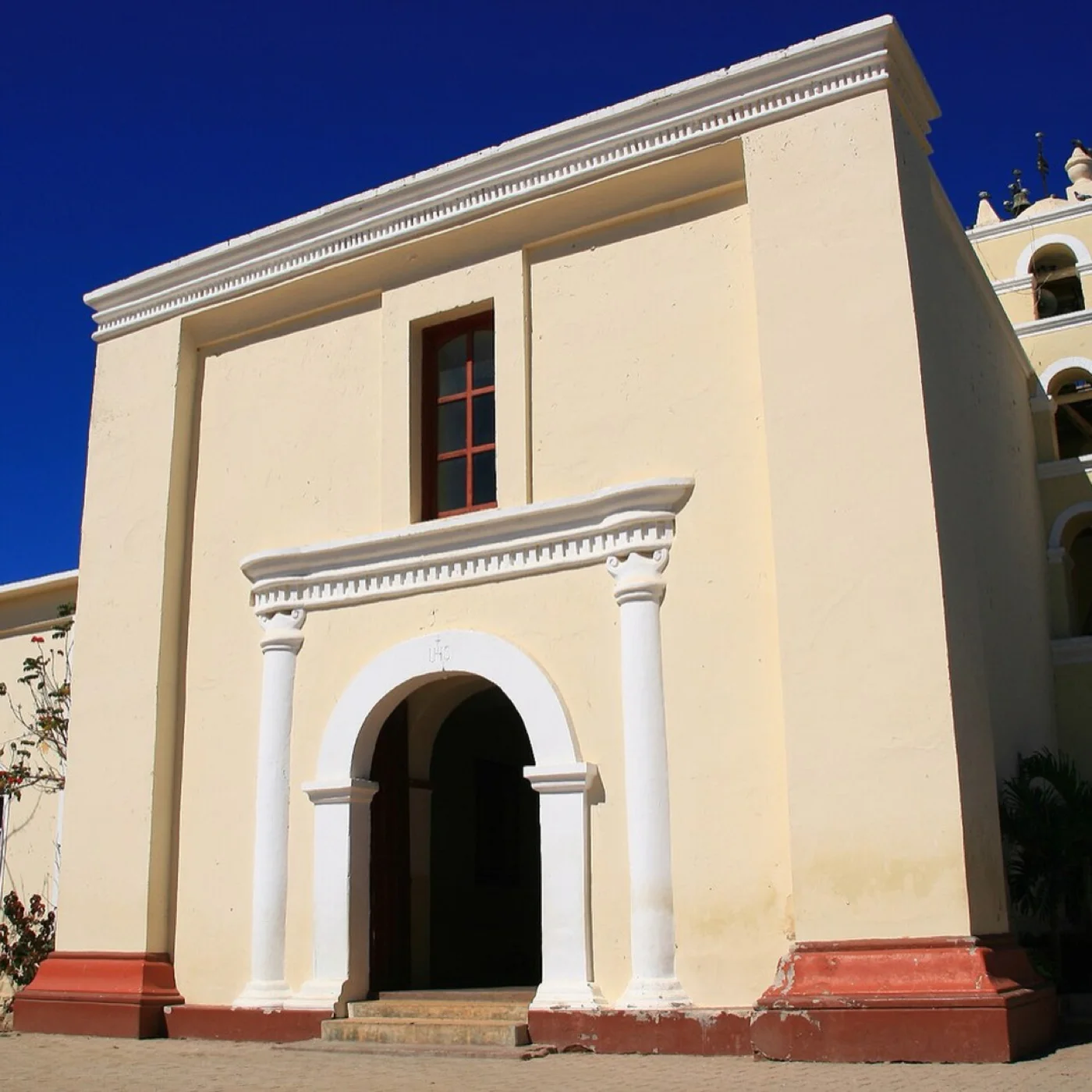
The missionFounded in 1723, on the main square.
Galleries and courtyards
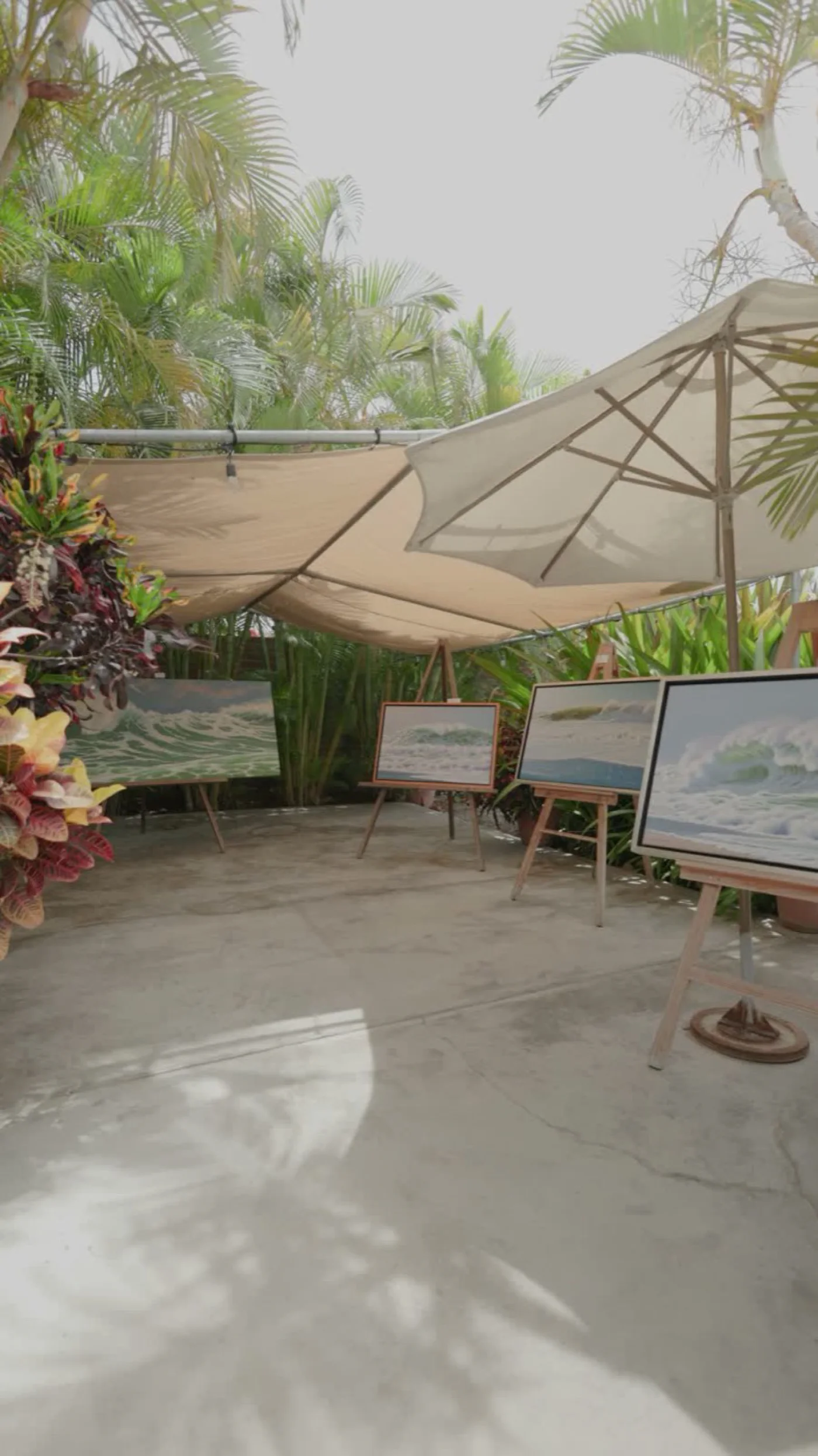
Galleries and courtyardsThe town runs on art and on food.
Playa Los Mangos
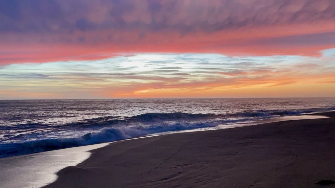
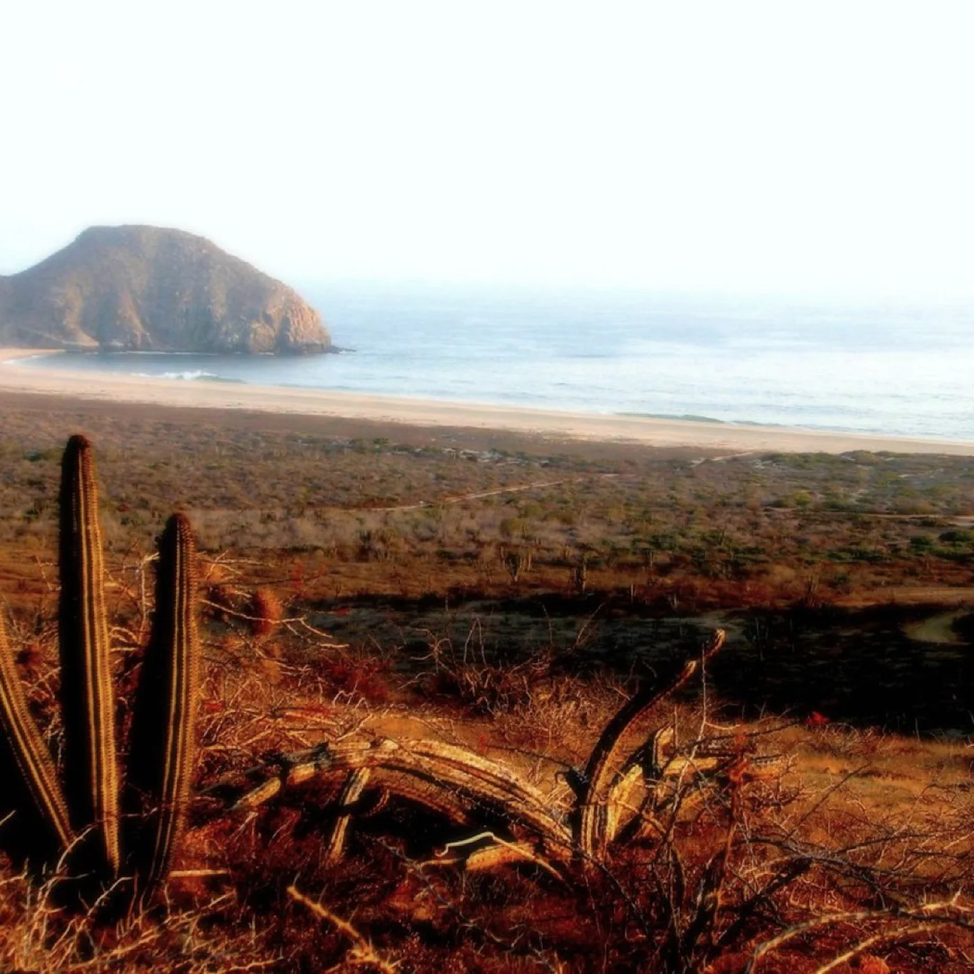
Playa Los Mangos2.5 km away. Open and almost always empty.
Punta Lobos
Punta Lobos6.2 km away. The fishing boats go out at dawn.
San Pedrito
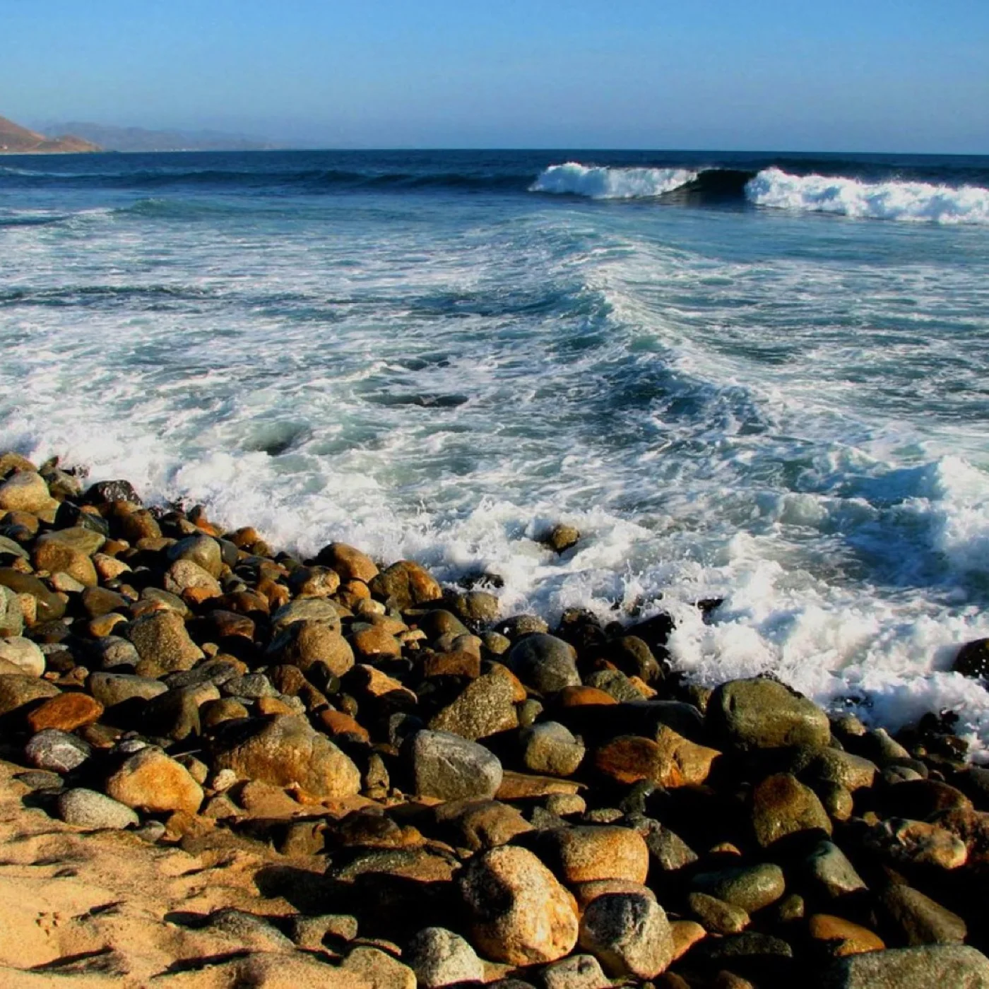
San Pedrito11.9 km away. A surf break.
Cerritos
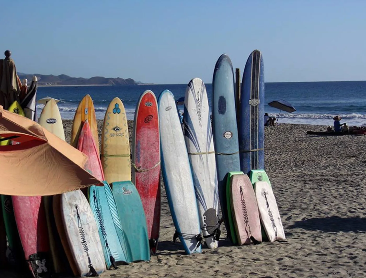
Cerritos16.7 km away. Surf all year, whether you are starting out or not.
Humpback whales
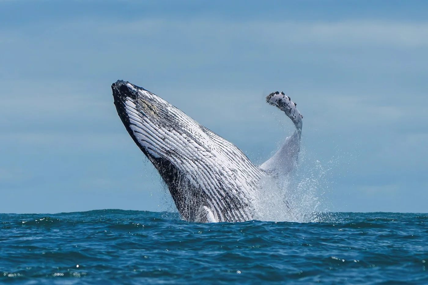
Humpback whalesNovember through May, from the beach.
Oystera
OysteraOne of the town's tables.
Cocina del campo
Cocina del campoLocal produce, a few minutes away.
1890
1890Cellar and dining room in the centre.
1 / 12

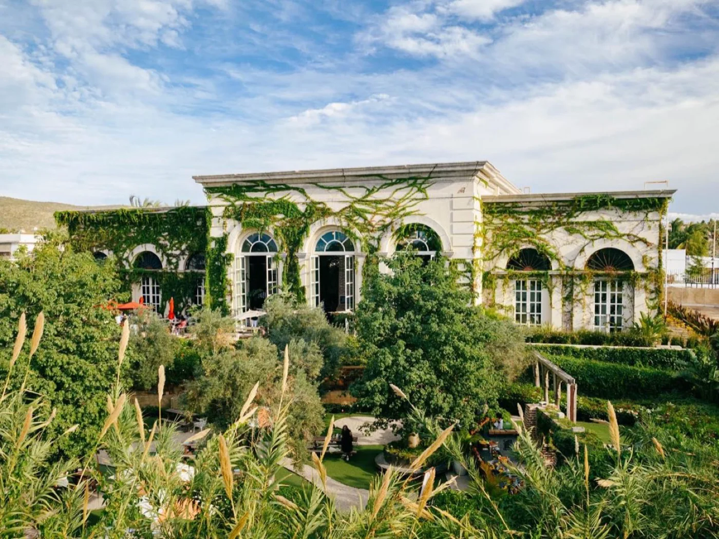
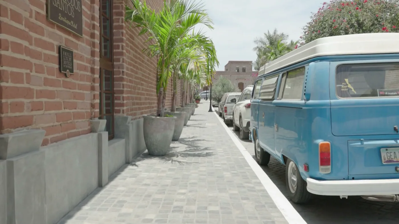
Photographs of the destination. Every other image on this site is a rendering.

No obligation

Interested in a fraction?

Leave us your details and we will send you the usage calendar, the current price list and the payment options.

Received. We will be in touch shortly.
EspañolEN
Map See in 3D Request information